
When you’re looking to buy satellite imagery online, it’s essential to understand the difference between different types of satellite imagery and make sure that you’re ordering the right one. Since image capturing may vary with changing conditions, there are variations in the quality of satellite imagery and whether it will suit your needs. This article gives you tips on how to make sure that you get what you want when you order satellite imagery online!
- Choose the Right Satellite Imagery Provider
Choosing the right satellite provider is the first step in getting the most out of your imagery. Not all providers are created equal, and it is essential to understand their strengths and weaknesses so that you can make an informed decision. Satellite imagery providers will have different satellites with different technical capabilities.
For example, one company may offer one satellite with a resolution of 1 meter per pixel and another with a resolution of 10 meters per pixel. In this case, the 10 meters per pixel would be more desirable for larger areas such as building footprints but less for smaller objects such as individual trees or vehicles on a parking lot. However, Drone Imaging companies produce drone images with incredible detail and clarity compared to satellite imagery, even at night when most other imaging options are blind.
- Location Accuracy of Your Imagery
Location accuracy of your imagery is another essential factor to consider. Whether geolocational or geospatial accuracy, it’s crucial to ensure your image covers the precise area of your interest. Different types of satellite imagery are suited for various applications, so do your research to find out which type will work best for you. Remember that some types require licensing agreements before using, so be sure to check what restrictions apply if that is a concern for you.
Getting an image that covers your subject location helps you meet your needs and get the most out of your product. Being specific in your geographic limitations on your desired application can help narrow down the selection of options. One way to determine this is by identifying where on Earth you want to focus on and reviewing data providers covering this specific region.
- Consider the Time Frame You Want Your Imagery to Cover
Some satellite images are only updated periodically, while others have live updates. Temporal coverage can range from 10 minutes to one day and more. There are also several options available depending on how frequently you need updates: real-time updates every few seconds, hourly updates with a 12-hour delay, daily updates with a 12-hour delay, and monthly updates with no delay at all. Be sure to find out if your software will handle your temporal needs automatically or if you’ll have to set it up each time manually.
For example, choose a service that offers instant imagery updating if you want to monitor a natural disaster that happens quickly and unexpectedly. If you’re not as concerned about constantly updating but would like to see new changes within an hour or so after they happen, choose a service that provides hourly updates with a 12-hour delay. However, you may need flexibility if your plans change and you need coverage for a more extended period than initially anticipated.
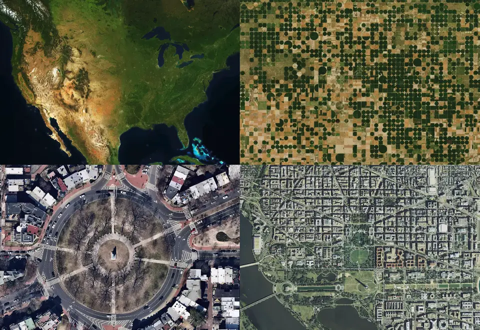
- Consider Spatial Resolution
One issue many people do not consider is spatial resolution when getting their satellite imagery. Spatial resolution defines how much detail you can see on a specific area on the ground and changes depending on your needs. For example, if you need to analyze large swathes of land at once, a low-resolution image may suffice as there will be very little detail.
If you want to know what’s happening in a specific building, then high-resolution images are likely necessary. Understanding the different types of resolutions available before purchasing your data is essential in ensuring you get what you need. Always choose a satellite imagery provider with a spatial resolution compatible with your requirements.
- Digital Elevation Models (DEM)
DEMs, or Digital Elevation Models, can be created by satellite images, allowing you to measure height and find information about the terrain. DEMs are often used in Geographic Information Systems (GIS) data because they enable 3D analysis. A DEM that has captured color can help you distinguish different materials, such as sand and water. It also lets you see the location of buildings and monitor changes over time.
However, with a black-and-white image, getting a good idea of what is happening on the ground level is challenging. DEM factor is therefore crucial if one wants to study how something like vegetation changes yearly. For example, it will give an estimate of leaf area. Knowing how much leaf area there is makes it possible to understand how much carbon dioxide the leaves absorb from the atmosphere through photosynthesis. Consequently, one can estimate how much carbon dioxide these forests are absorbing.
Conclusion
Satellite imaging has a lot of value to offer. Many factors can help you get the most out of your satellite imagery, including cost, resolution, frequency, and data licensing. Different types of satellites also offer various features, so knowing what kind of satellite best suits your needs is essential. DEMs are very useful for areas with little vegetation. Another consideration is how frequently updated images are available from the satellite. With the correct information, you can ensure that you’re using satellite imagery in the most effective way possible!